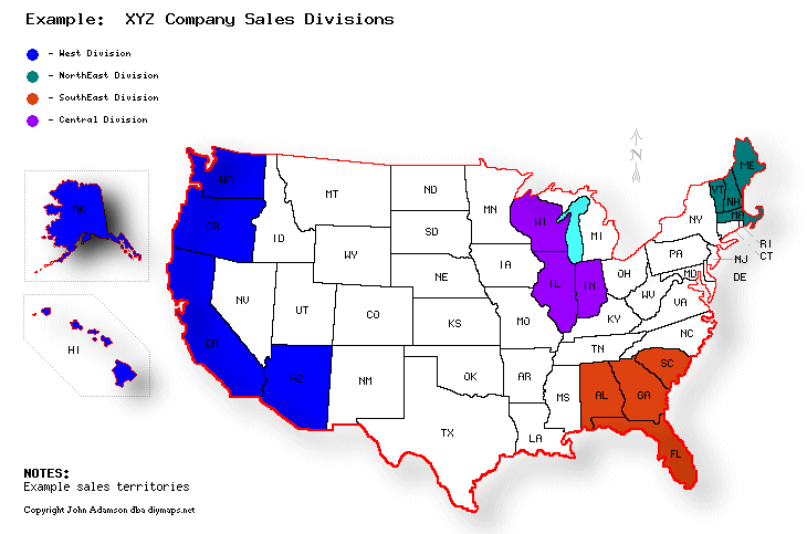
New!! Free Do It Yourself Color-Coded State, US, Canada, Mexico, Central/South America and WORLD Maps
Use DIYMaps.Net to select and color-code groups of ...
counties within a US state,or
states (or provinces) in the US, Canada, Mexico, or
countries of Central America/Carribean, or
countries of South America, or
countries of the World
Let color-coded geographic groups help illustrate your message. Useful for educators, business planners, displaying news events, election results, visited states and more!